Wildlands Celebrating 40 Years: 1985 – 2025
  • Company
    • News
    • Newsletters
    • Brand story
    • Our values
    • Reports and Other Outputs
    • Awards
    • Links
    • Health, Safety and Environment
    • The Wildlands Logo
    • Copyright
    • Rotorua Botanical Society
  • People
  • Services
    • Assessment of Ecological Effects (AEEs)
    • Biosecurity
    • Ecological Evaluation
    • Ecosystem Restoration & Rehabilitation
    • Fauna Surveys & Monitoring
    • Freshwater & Estuarine Wetlands
    • Indigenous Ecosystem Processes
    • Indigenous Revegetation
    • Mapping & GIS Services
    • Monitoring Design & Implementation
    • Offshore Islands
    • Pacific Islands
    • Strategic Advice
    • Sustainable Farm Planning
    • Threatened Species
    • Vegetation & Habitat Surveys
    • Weeds
    • Plant for Good
  • Projects
  • Careers
    • Current vacancies
  • Contact

Sand dune vegetation mapping and condition assessment, Bay of Plenty Region

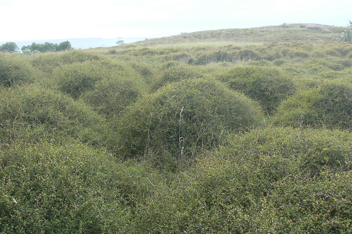
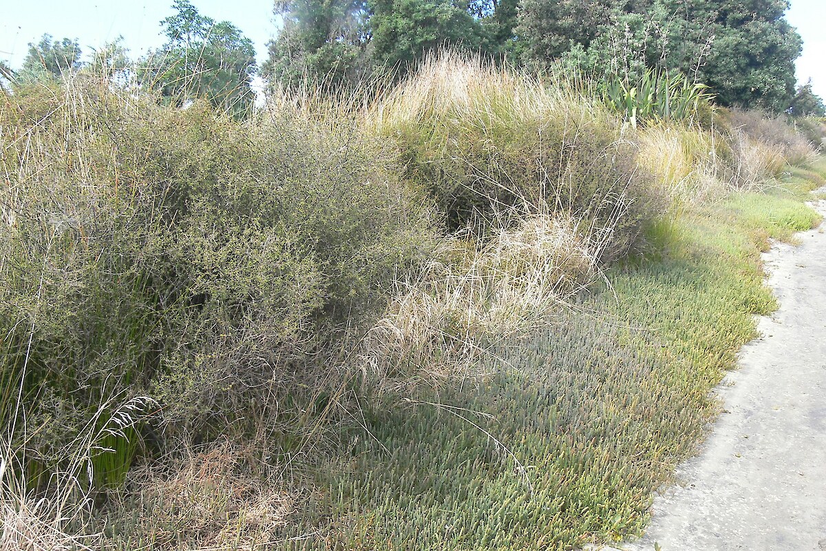
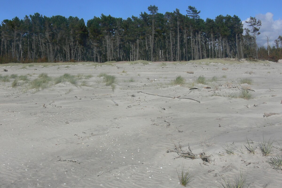
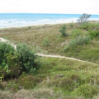
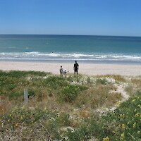
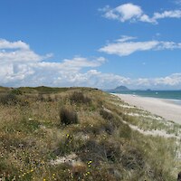
It has been estimated that only 21,300 ha of sand dunes remain throughout New Zealand. This is only about 11.6% of the original extent. The indigenous character of the remaining areas of sand dunes has generally been heavily modified through grazing, fire, and weed invasion.

In 2008, Wildland Consultants developed methods for, and undertook, the mapping and assessment of habitat condition of coastal dunes and indigenous vegetation in the Bay of Plenty Region. The data collected was to be used for long-term monitoring of sand dune vegetation.

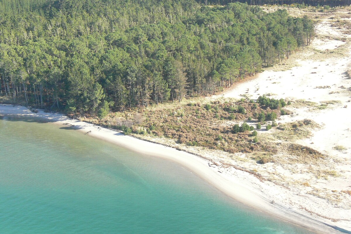
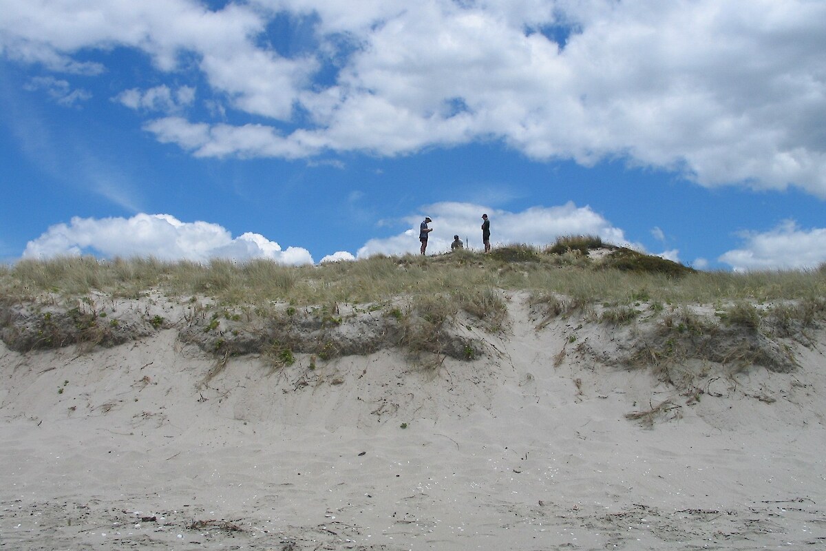
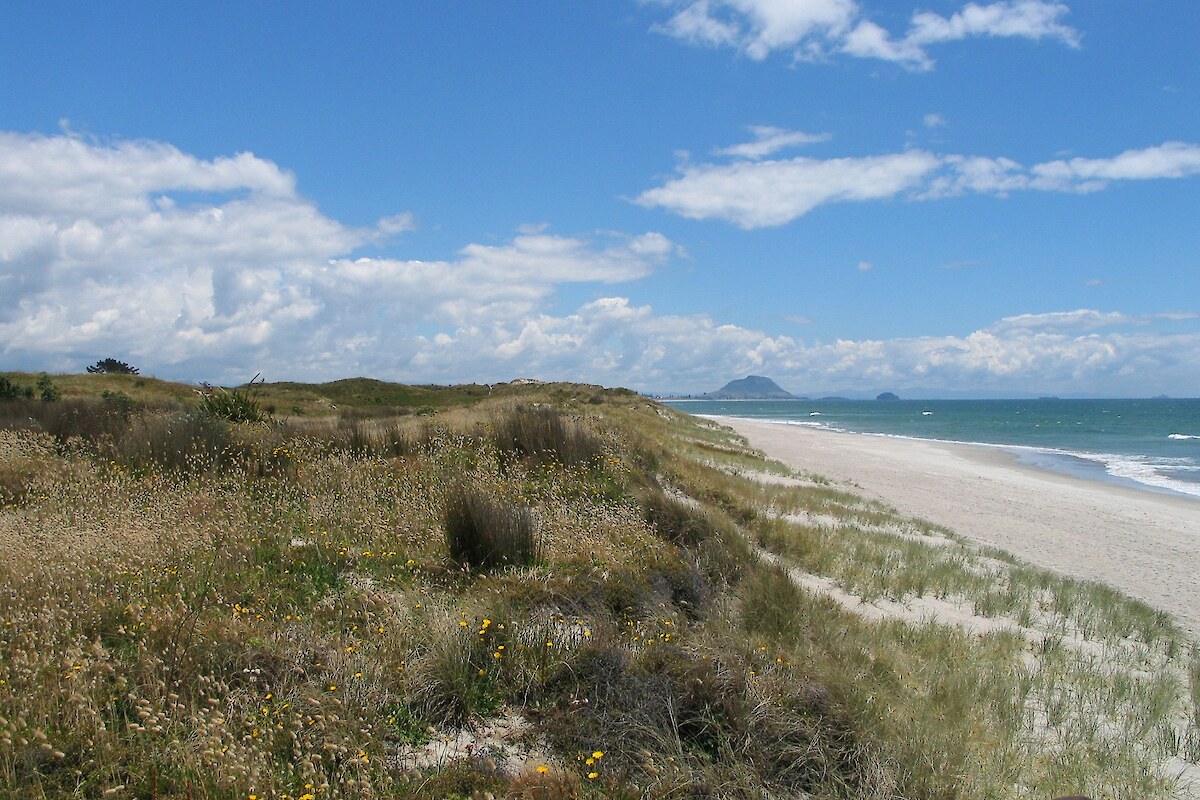
Methods for mapping dune vegetation were first trialled at three sites - Pukehina Spit, Pukehina Beach, and Maketu Spit - to ensure that the methods captured relevant data suitable for the purpose of dune monitoring, and that the methods were amenable to field application. A full field survey of Tauranga Ecological District was undertaken in March-April 2008 using the methods refined during the field trial.

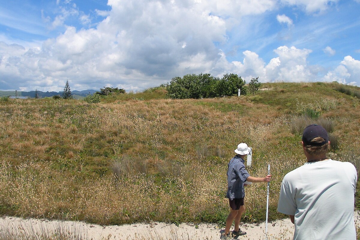
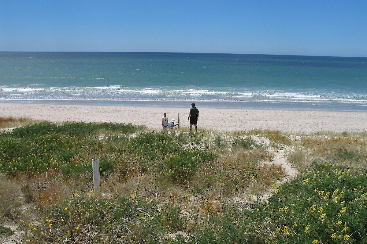
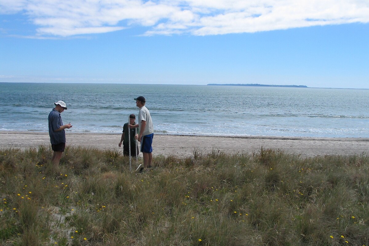
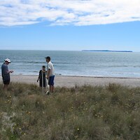
Belt transects were located at 1 kilometre intervals along, and perpendicular to, the Bay of Plenty coastline. Additional transects were established to ensure that at least one transect bisected each sand dune vegetation mapping and condition assessment site (SDVC) and that all vegetation types greater than 1 ha within each SDVC site were traversed by a transect.

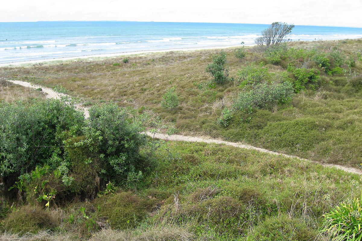
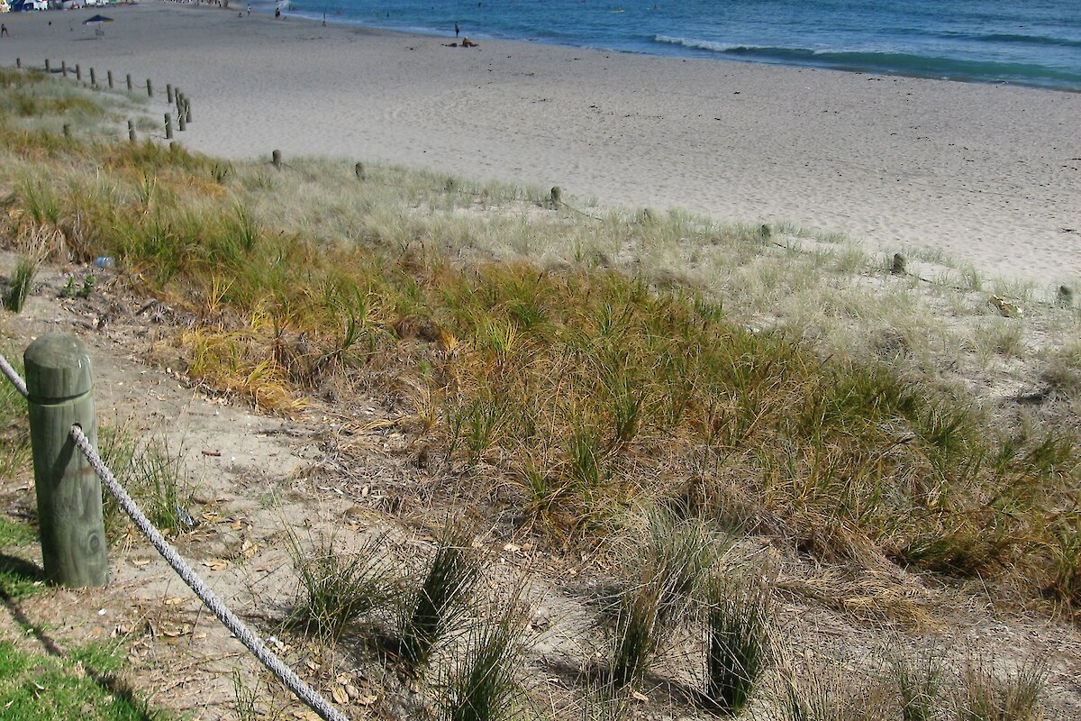
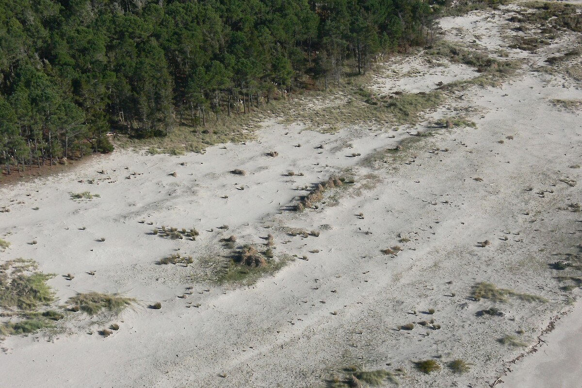
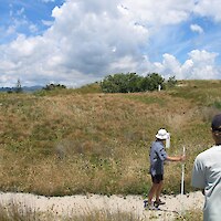
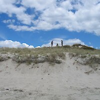
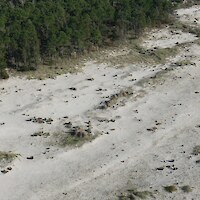
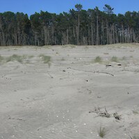
A walk through survey of all dune vegetation within each site was undertaken to identify all vegetation types discernible on 1:1,000 aerial photographs, map vegetation types, identify hydroclass and landform, record the locations of threatened and significant plant species present, identify threats and potential management actions, take photographic records, and assess vegetation condition, including the presence and cover of weed species and total cover of exotic species.

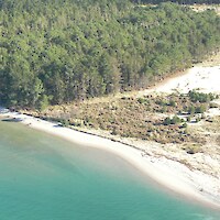
This study established and measured 81 transects distributed over 21 sand dune vegetation mapping and condition assessment sites (SDVC) (see Figure 1). Detailed vegetation types were mapped in a GIS, covering over 990 ha. Seventy vegetation types and habitats were identified and mapped over 727 polygons. These detailed vegetation types were then assigned to one of 50 vegetation classes.

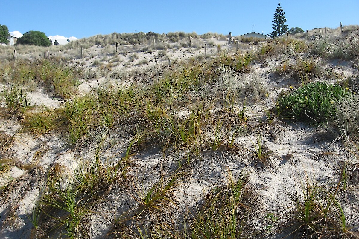
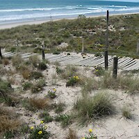
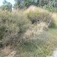
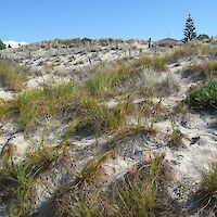
Important plant species recorded include sand daphne (Pimelea arenaria), sand tussock (Austrofestuca littoralis), and sand coprosma (Coprosma acerosa).

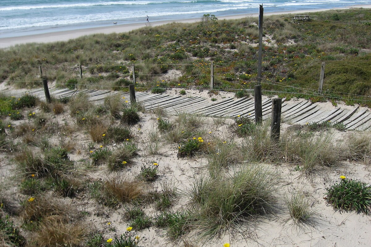
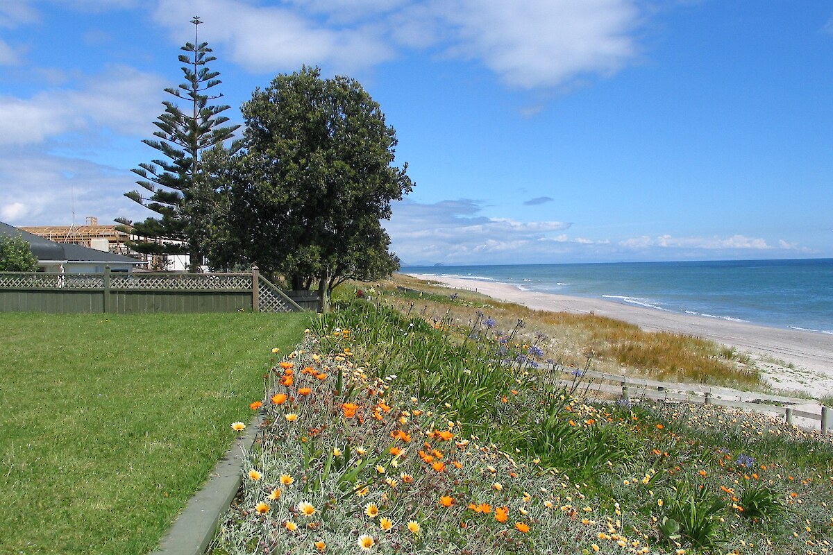
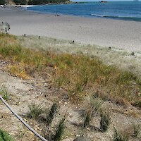
Management priorities were summarised for each transect. Control of weeds was the main recommendation, but fencing, installation of sand ladders to reduce the impact of foot traffic, and liaison with adjoining landowners about dumping of garden waste and garden encroachment were recommended at some sites.

Related Services

  • Indigenous Ecosystem Processes
  • Monitoring Design & Implementation

Similar Projects

  • Project Twin Streams, Auckland
Providing outstanding ecological services to sustain and improve our environments
Wildlands: Ecology and Restoration Westpac Rotorua Business Excellence Awards Supreme Winner Toitū Enviromark Diamond Ekos Zero Carbon Pest-Free Operator: Hauraki Gulf

[Enable JavaScript to view protected content]

Call free: 0508 945 369

© 2025 Wildland Consultants Ltd
Website by RS

  • Home
  • Company
    • News
    • Newsletters
    • Brand story
    • Our values
    • Reports and Other Outputs
    • Awards
    • Links
    • Health, Safety and Environment
    • The Wildlands Logo
    • Copyright
    • Rotorua Botanical Society
      • Publications
      • Newsletters
      • Field Trips
      • Membership Form
      • John Nicholls Memorial Research Grant
  • People
  • Services
    • Assessment of Ecological Effects (AEEs)
    • Biosecurity
      • Pest Animals
    • Ecological Evaluation
    • Ecosystem Restoration & Rehabilitation
    • Fauna Surveys & Monitoring
      • Aquatic Fauna
      • Bats
      • Birds
      • Lizards & Frogs
      • Terrestrial Invertebrates
    • Freshwater & Estuarine Wetlands
    • Indigenous Ecosystem Processes
    • Indigenous Revegetation
    • Mapping & GIS Services
    • Monitoring Design & Implementation
    • Offshore Islands
    • Pacific Islands
    • Strategic Advice
    • Sustainable Farm Planning
    • Threatened Species
    • Vegetation & Habitat Surveys
    • Weeds
    • Plant for Good
      • Riparian Indigenous Planting
      • Shelterbelts
      • Woodlots/forestry
  • Projects
  • Careers
    • Current vacancies
  • Contact