Wildlands Celebrating 40 Years: 1985 – 2025
  • Company
    • News
    • Newsletters
    • Brand story
    • Our values
    • Reports and Other Outputs
    • Awards
    • Links
    • Health, Safety and Environment
    • The Wildlands Logo
    • Copyright
    • Rotorua Botanical Society
  • People
  • Services
    • Assessment of Ecological Effects (AEEs)
    • Biosecurity
    • Ecological Evaluation
    • Ecosystem Restoration & Rehabilitation
    • Fauna Surveys & Monitoring
    • Freshwater & Estuarine Wetlands
    • Indigenous Ecosystem Processes
    • Indigenous Revegetation
    • Mapping & GIS Services
    • Monitoring Design & Implementation
    • Offshore Islands
    • Pacific Islands
    • Strategic Advice
    • Sustainable Farm Planning
    • Threatened Species
    • Vegetation & Habitat Surveys
    • Weeds
    • Plant for Good
  • Projects
  • Careers
    • Current vacancies
  • Contact

Vegetation monitoring, Pūtauaki (Mt Edgecumbe)

Pūtauaki in 2003 showing the areas where plantation forest has been harvested and indigenous vegetation is being re-established
In permanent vegetation monitoring plots, large trees are tagged and their diameters recorded (2014)
Pūtauaki (Mt Edgecumbe) from the north (2005)
Forest vegetation at permanent vegetation monitoring plot 4, 2014
Secondary vegetation on the lower slopes of Pūtauaki, 2003
(Radiata pine-rewarewa-mānuka)/mangeao-māpou-mānuka-shining karamū scrub is present at Plot 2 (2014)
Māpou-brush wattle/ māhoe-tarata-māpou-brush wattle scrub at Plot 5 (2014)
Mixed indigenous-exotic scrub at Plot 15 (2014)

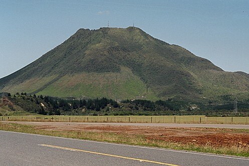
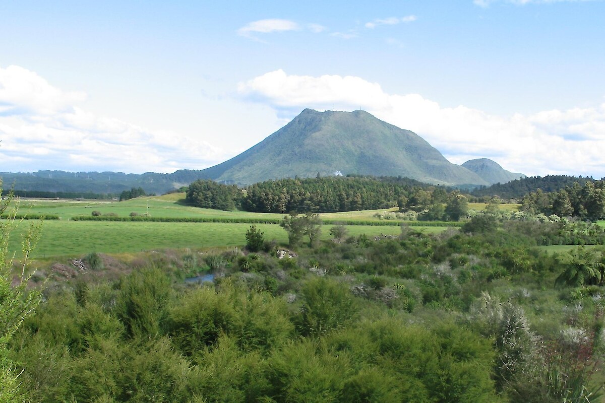
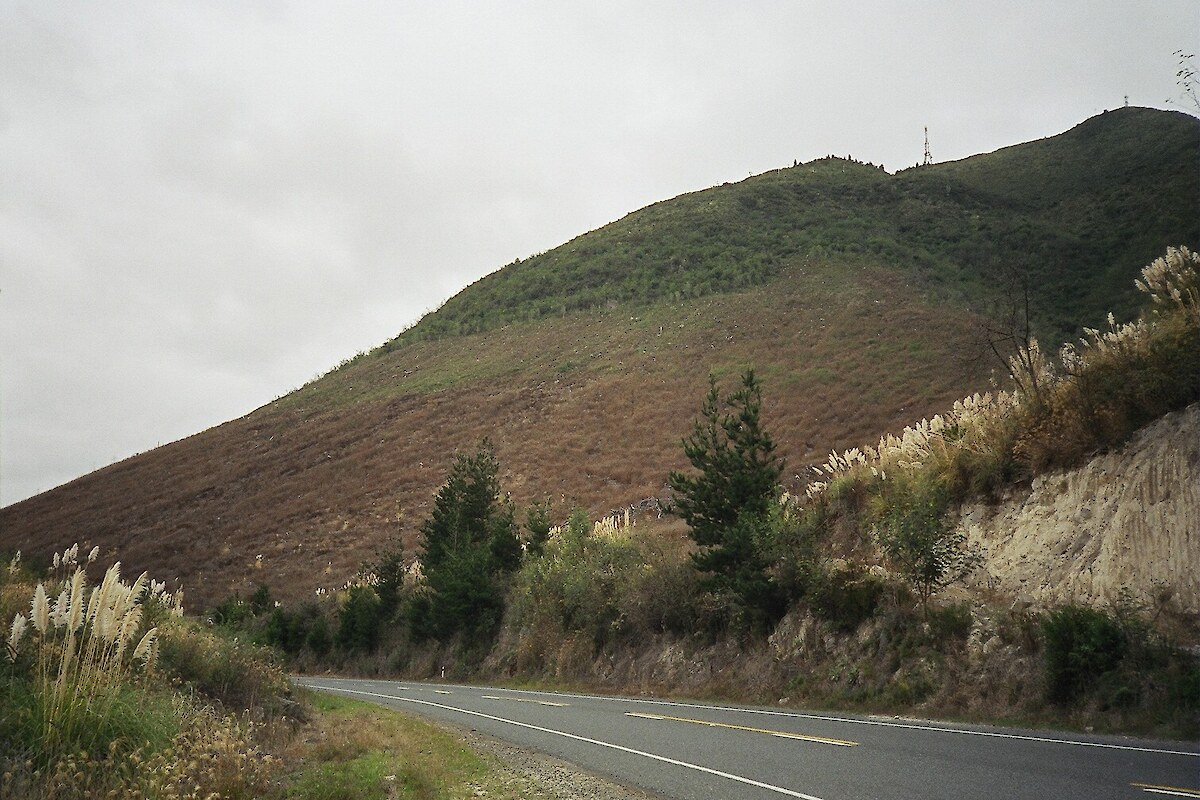
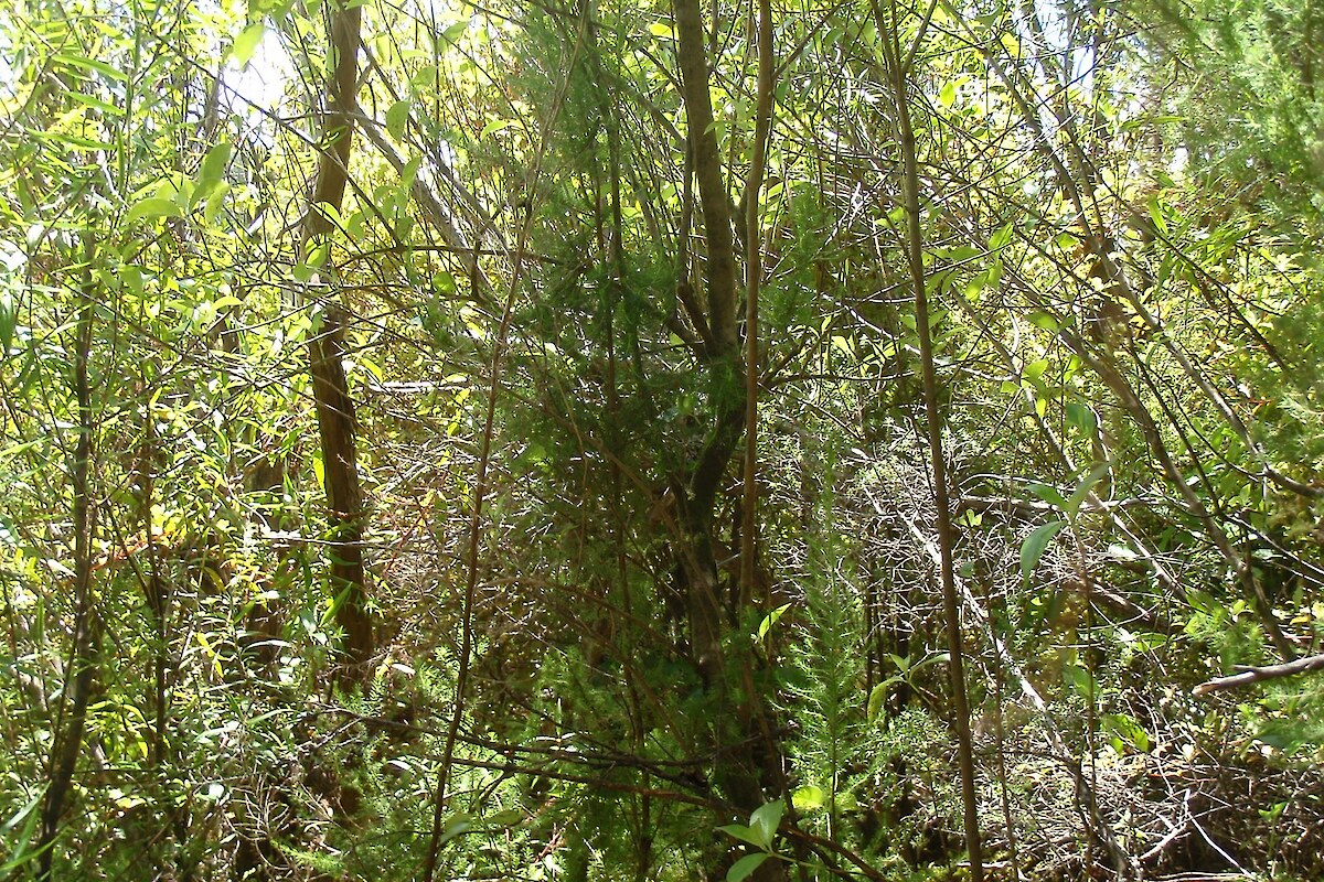
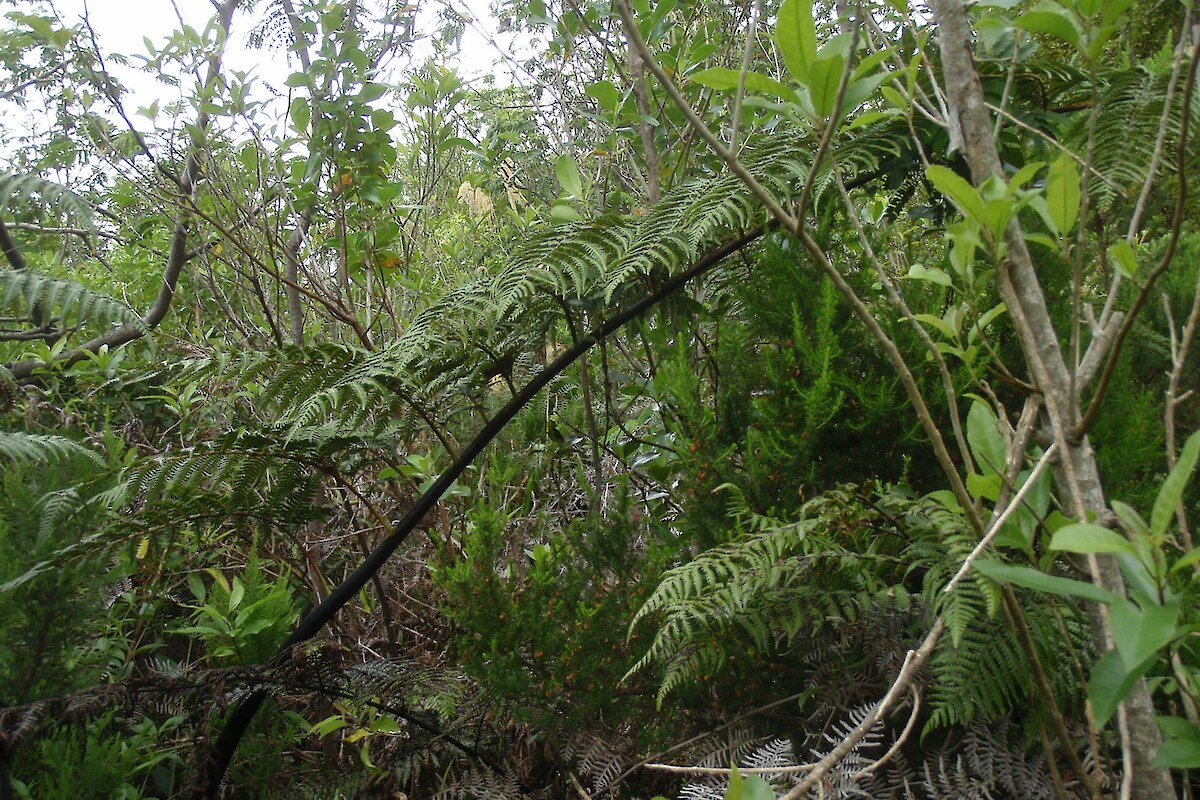
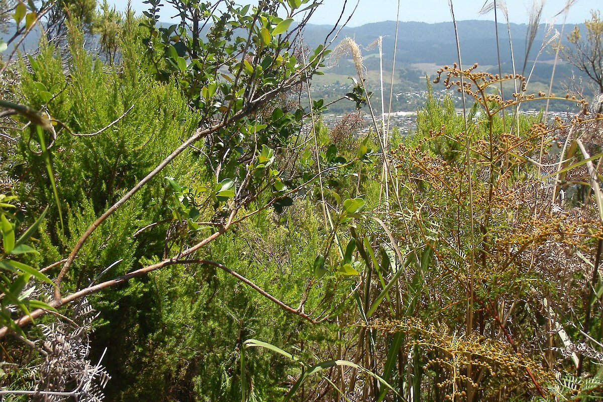
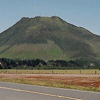
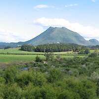
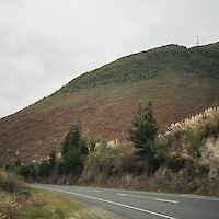
Pūtauaki (820 m asl) is located three kilometres east of Kawerau, in the Bay of Plenty Region. It is a dacite volcanic cone and the easternmost vent of the Okataina volcanic centre within the Taupo Volcanic Zone. Vegetation on Pūtauaki comprises various secondary indigenous forest, shrubland, and scrub types. Exotic species are locally prominent, particularly on the lower northern slopes.

Pūtauaki and its surrounds are owned and managed by the Ngā Maunga Kaitiaki Trust which, in partnership with the Bay of Plenty Regional Council, aims to protect the natural environment, the landscape amenity, the wildlife habitat, and the historic spiritual landscape of the land (including the receiving water bodies) to ensure the long term protection of these lands for the benefit of their indigenous biodiversity and on behalf of future generations.

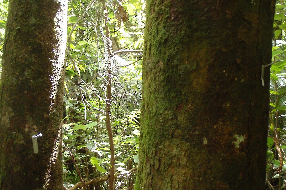
In order to monitor vegetation condition and inform biodiversity management, the Bay of Plenty Regional Council commissioned Wildland Consultants Ltd to establish (and measure) permanent 20 x 20 m vegetation monitoring plots on Pūtauaki.

Fifteen plots were established on Pūtauaki and the following measurements undertaken:

  • A standard permanent plot reconnaissance (Recce) plot sheet was completed, including recording of plot characteristics (e.g. slope, aspect, drainage, layout), groundcover (litter, bare ground, rock, total vegetation, non-vascular vegetation), fauna, vegetation browse, and the relative abundance (in six cover classes) of each plant species present in seven vegetation tiers (<30 cm, 0.3-2 m, 2-5 m, 5-12 m, 12-25 m, >25 m and epiphytes).
  • All stems >2.5 cm diameter at breast height (dbh) were identified to species, tagged, and dbh was measured.
  • Sapling counts were undertaken for woody species >1.35 m tall and <2.5 cm dbh.
  • Understorey subplots: the presence of every plant species <15 cm tall, and counts of each woody plant species present in four other height tiers (16-45 cm, 46-75 cm, 76‑105 cm, 106-135 cm), were recorded for each subplot. Non-woody species and lianes >15 cm tall were recorded as present, rather than counted, in the four height tiers in which they occurred.
  • Photographs were taken at each plot corner, facing towards the centre of the plot.

All plot data was entered into NVS Express ready for uploading to the NVS database.

Summary statistics were prepared of vegetation parameters. Power analyses were undertaken to determine whether the plots (number and variety) would be sufficient to detect a change in the percentage cover of exotic species following remeasurement and to determine whether the plots would detect a change in dbh of common species over time.

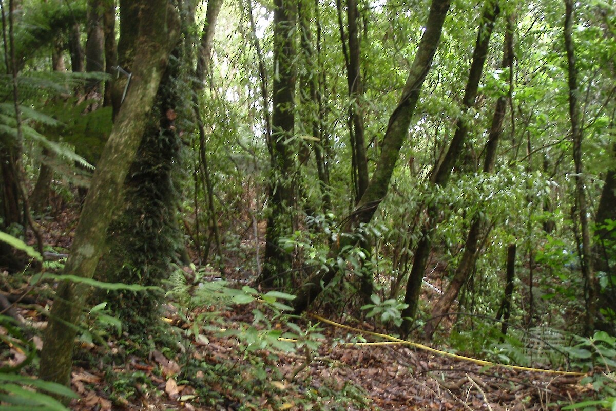
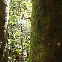
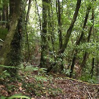
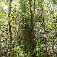
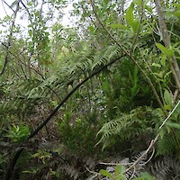
In general, the vegetation in plots comprised tawa-kāmahi forest, tawa-rewarewa forest, treefern-dominant forest, māhoe, māpou, and kānuka scrub, and mixed indigenous-exotic scrub.

Mean basal area (across all plots) on Pūtauaki was 33.02 m2/ha, which reflects the secondary nature of the vegetation, including areas of regenerating scrub. Mean seedling and sapling counts at Pūtauaki appear to fall within expected ranges, being comparable to those recorded in forest plots in the Urewera Ranges.

A total of 173 vascular plant taxa - 44 exotic, 126 indigenous, three unknown status - were recorded from all plots, including Pimelea tomentosa (Threatened-Nationally Vulnerable) and 16 environmental pest plant species.

Thirteen indigenous species of birds (including New Zealand falcon - Falco novaeseelandiae “bush” and long-tailed cuckoo - Eudynamys taitensis), four species of invertebrates, three mammal species, and one exotic reptile (rainbow skink - Lampropholis delicata) were recorded in plots. Deer (Cervus sp.), feral pig (Sus scrufa), and brushtail possum (Trichosurus vulpecula) sign were also recorded.

Recommendations were provided for weed control, pest animal control, management of Pimelea tomentosa, and other opportunities for enhancing biodiversity on Pūtauaki.

Related Services

  • Vegetation & Habitat Surveys

Similar Projects

  • Significant Natural Area (SNA) and Protected Natural Area (PNAP) surveys
  • Cathedral Cove weed management and restoration
  • Te Tumu Kaituna 7b2 ecological restoration project
  • Geothermal vegetation and habitats in the Bay of Plenty Region
  • Threatened plants and braided river bird surveys, Central Otago
  • Assessment of wetlands at the Remarkables Ski Area, Queenstown
  • Assessment of significant vegetation, Otatara, Invercargill
  • Seabird re-establishment and habitat restoration, Long Point-Irahuka
Providing outstanding ecological services to sustain and improve our environments
Wildlands: Ecology and Restoration Westpac Rotorua Business Excellence Awards Supreme Winner Toitū Enviromark Diamond Ekos Zero Carbon Pest-Free Operator: Hauraki Gulf

[Enable JavaScript to view protected content]

Call free: 0508 945 369

© 2025 Wildland Consultants Ltd
Website by RS

  • Home
  • Company
    • News
    • Newsletters
    • Brand story
    • Our values
    • Reports and Other Outputs
    • Awards
    • Links
    • Health, Safety and Environment
    • The Wildlands Logo
    • Copyright
    • Rotorua Botanical Society
      • Publications
      • Newsletters
      • Field Trips
      • Membership Form
      • John Nicholls Memorial Research Grant
  • People
  • Services
    • Assessment of Ecological Effects (AEEs)
    • Biosecurity
      • Pest Animals
    • Ecological Evaluation
    • Ecosystem Restoration & Rehabilitation
    • Fauna Surveys & Monitoring
      • Aquatic Fauna
      • Bats
      • Birds
      • Lizards & Frogs
      • Terrestrial Invertebrates
    • Freshwater & Estuarine Wetlands
    • Indigenous Ecosystem Processes
    • Indigenous Revegetation
    • Mapping & GIS Services
    • Monitoring Design & Implementation
    • Offshore Islands
    • Pacific Islands
    • Strategic Advice
    • Sustainable Farm Planning
    • Threatened Species
    • Vegetation & Habitat Surveys
    • Weeds
    • Plant for Good
      • Riparian Indigenous Planting
      • Shelterbelts
      • Woodlots/forestry
  • Projects
  • Careers
    • Current vacancies
  • Contact