Wildlands Celebrating 40 Years: 1985 – 2025
  • Company
    • News
    • Newsletters
    • Brand story
    • Our values
    • Reports and Other Outputs
    • Awards
    • Links
    • Health, Safety and Environment
    • The Wildlands Logo
    • Copyright
    • Rotorua Botanical Society
  • People
  • Services
    • Assessment of Ecological Effects (AEEs)
    • Biosecurity
    • Ecological Evaluation
    • Ecosystem Restoration & Rehabilitation
    • Fauna Surveys & Monitoring
    • Freshwater & Estuarine Wetlands
    • Indigenous Ecosystem Processes
    • Indigenous Revegetation
    • Mapping & GIS Services
    • Monitoring Design & Implementation
    • Offshore Islands
    • Pacific Islands
    • Strategic Advice
    • Sustainable Farm Planning
    • Threatened Species
    • Vegetation & Habitat Surveys
    • Weeds
    • Plant for Good
  • Projects
  • Careers
    • Current vacancies
  • Contact

Seabird re-establishment and habitat restoration, Long Point-Irahuka

Looking east towards Long Point-Irahuka
Rocky platforms and coastal turf provide haul-out sites for seals
Steep coastal cliffs at Long Point-Irahuka
Coastal scrub and harakeke flaxland near Cosgrove Creek
Coastal scrub in the Cosgrove Creek area
Plantings of harakeke and cabbage tree on Long Point
Looking east towards Long Point-Irahuka
Rocky platforms and coastal turf provide haul-out sites for seals
Steep coastal cliffs at Long Point-Irahuka
Coastal scrub and harakeke flaxland near Cosgrove Creek
Coastal scrub in the Cosgrove Creek area
Plantings of harakeke and cabbage tree on Long Point

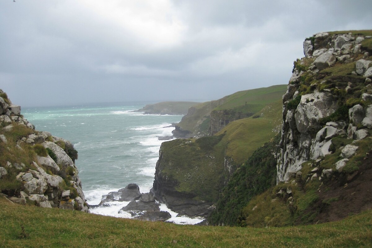
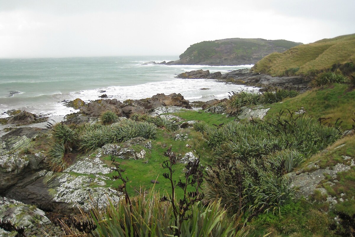
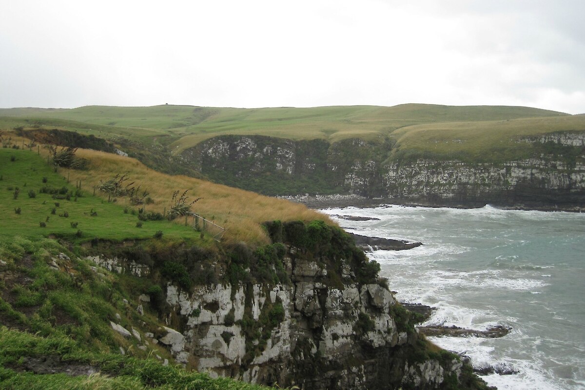
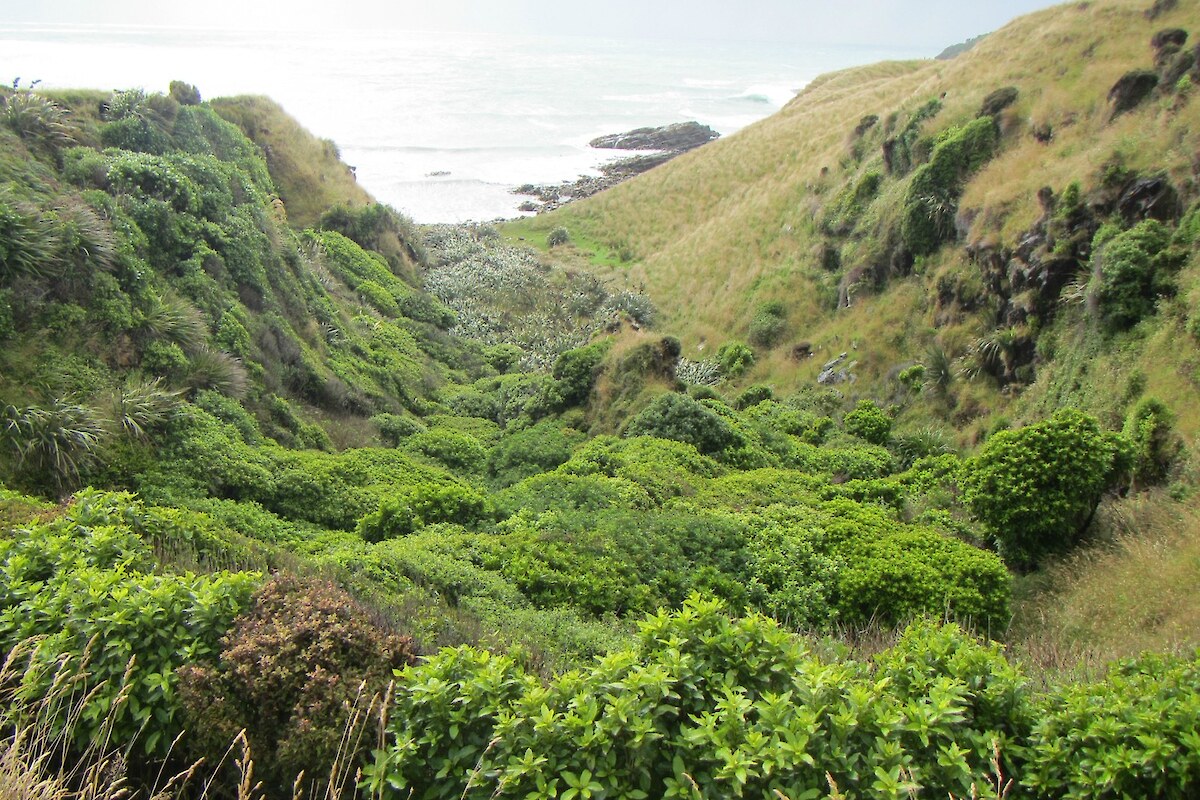
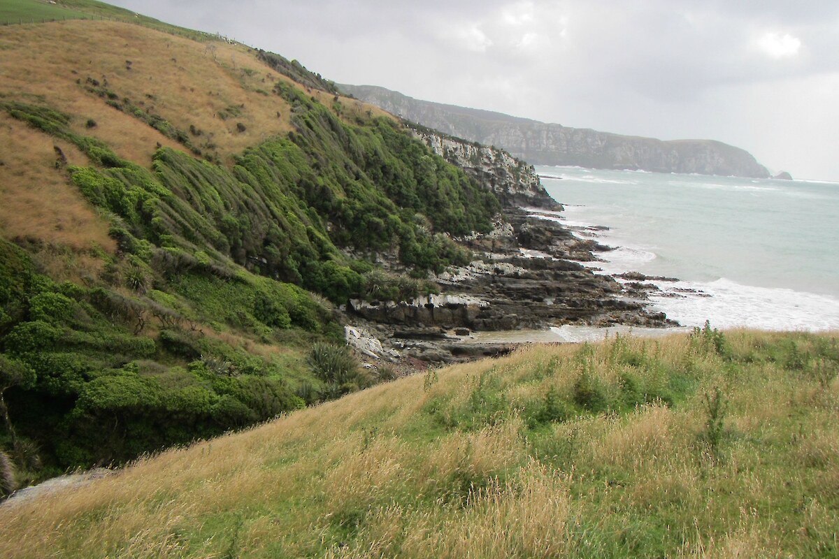
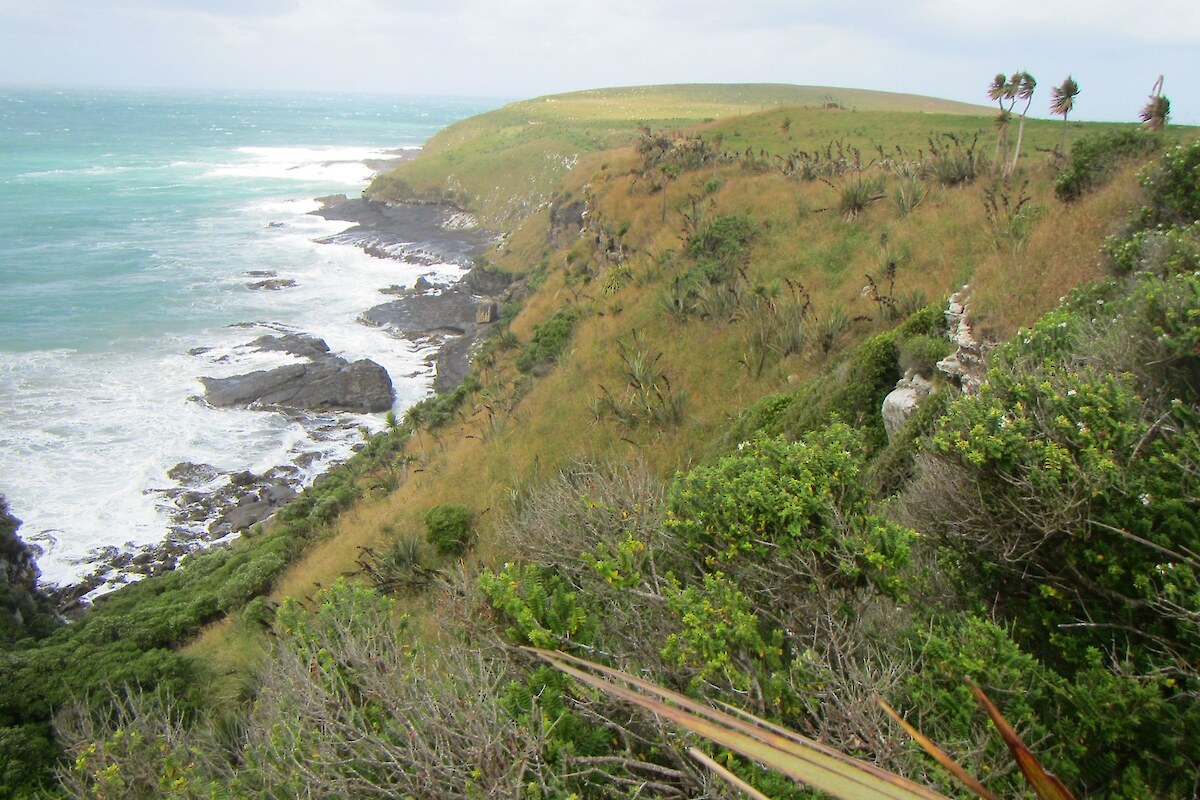
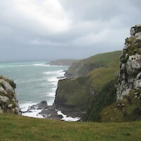
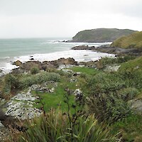
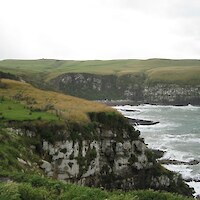
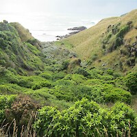
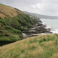
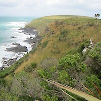
Long Point-Irahuka is part of a complex of headlands on the Catlins coast, approximately 15 km south of Owaka. The association of headlands, rocky platforms, and patches of coastal shrubland support an important population of yellow-eyed penguins (Megadyptes antipodes) as well as remnant sooty shearwater (Puffinus griseus) colonies. The area has significant potential for the restoration and introduction of other seabird species.

The Yellow-eyed Penguin Trust has been actively monitoring the yellow-eyed penguins around Long Point-Irahuka since 2007. It hosted a ‘brain-storming session’ at the location in February 2008, comprising Department of Conservation, Landcare Research, and Otago and Lincoln University experts and ecologists, and Trust employees. This helped to synthesise a vision document for the Long Point-Irahuka Restoration Project, and a management plan was produced in 2012.

Wildland Consultants first helped the Trust in 2006, when the Trust was investigating the possible purchase of parts of the coastal headlands. Wildlands produced an assessment of the ecological values of the c.800 ha farm property. Subsequently, the Trust and the Crown (via the Nature Heritage Fund) each purchased two blocks of land at Long Point-Irahuka in 2009. Management of the two Crown-owned blocks is vested with the Trust.

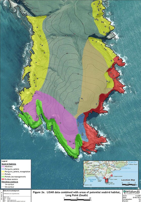
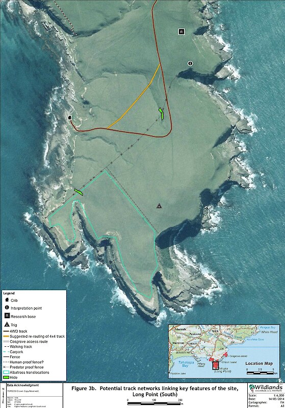
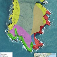
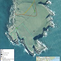
In 2014, Wildlands was commissioned by the Trust to map vegetation types, existing fauna habitats, a potential track network linking key ecological and physical features (including the proposed research base), and LIDAR and soil data (to aid the identification of key seabird habitat features) at Long Point and Cosgrove Creek, map ecological linkages in the Long Point-Irahuka area, and identify and prioritise potential sites for seabird restoration and/or translocation at Long Point-Irahuka. Mapping was undertaken using ESRI ArcMap 10.1 GIS software and shape files were supplied to the Trust, along with a report describing potential facilities and seabird management areas, listing suitable seabird species for management, and providing revegetation guidelines.

Related Services

  • Vegetation & Habitat Surveys
  • Mapping & GIS Services

Similar Projects

  • Significant Natural Area (SNA) and Protected Natural Area (PNAP) surveys
  • Cathedral Cove weed management and restoration
  • Te Tumu Kaituna 7b2 ecological restoration project
  • Vegetation monitoring, Pūtauaki (Mt Edgecumbe)
  • Geothermal vegetation and habitats in the Bay of Plenty Region
  • Threatened plants and braided river bird surveys, Central Otago
  • Assessment of wetlands at the Remarkables Ski Area, Queenstown
  • Assessment of significant vegetation, Otatara, Invercargill
Providing outstanding ecological services to sustain and improve our environments
Wildlands: Ecology and Restoration Westpac Rotorua Business Excellence Awards Supreme Winner Toitū Enviromark Diamond Ekos Zero Carbon Pest-Free Operator: Hauraki Gulf

[Enable JavaScript to view protected content]

Call free: 0508 945 369

© 2025 Wildland Consultants Ltd
Website by RS

  • Home
  • Company
    • News
    • Newsletters
    • Brand story
    • Our values
    • Reports and Other Outputs
    • Awards
    • Links
    • Health, Safety and Environment
    • The Wildlands Logo
    • Copyright
    • Rotorua Botanical Society
      • Publications
      • Newsletters
      • Field Trips
      • Membership Form
      • John Nicholls Memorial Research Grant
  • People
  • Services
    • Assessment of Ecological Effects (AEEs)
    • Biosecurity
      • Pest Animals
    • Ecological Evaluation
    • Ecosystem Restoration & Rehabilitation
    • Fauna Surveys & Monitoring
      • Aquatic Fauna
      • Bats
      • Birds
      • Lizards & Frogs
      • Terrestrial Invertebrates
    • Freshwater & Estuarine Wetlands
    • Indigenous Ecosystem Processes
    • Indigenous Revegetation
    • Mapping & GIS Services
    • Monitoring Design & Implementation
    • Offshore Islands
    • Pacific Islands
    • Strategic Advice
    • Sustainable Farm Planning
    • Threatened Species
    • Vegetation & Habitat Surveys
    • Weeds
    • Plant for Good
      • Riparian Indigenous Planting
      • Shelterbelts
      • Woodlots/forestry
  • Projects
  • Careers
    • Current vacancies
  • Contact