Wildlands Celebrating 40 Years: 1985 – 2025
  • Company
    • News
    • Newsletters
    • Brand story
    • Our values
    • Reports and Other Outputs
    • Awards
    • Links
    • Health, Safety and Environment
    • The Wildlands Logo
    • Copyright
    • Rotorua Botanical Society
  • People
  • Services
    • Assessment of Ecological Effects (AEEs)
    • Biosecurity
    • Ecological Evaluation
    • Ecosystem Restoration & Rehabilitation
    • Fauna Surveys & Monitoring
    • Freshwater & Estuarine Wetlands
    • Indigenous Ecosystem Processes
    • Indigenous Revegetation
    • Mapping & GIS Services
    • Monitoring Design & Implementation
    • Offshore Islands
    • Pacific Islands
    • Strategic Advice
    • Sustainable Farm Planning
    • Threatened Species
    • Vegetation & Habitat Surveys
    • Weeds
    • Plant for Good
  • Projects
  • Careers
    • Current vacancies
  • Contact

Geothermal vegetation and habitats in the Bay of Plenty Region

Mt Tarawera
<em>Cyclosorus interruptus</em> (At Risk-Declining)
Geothermal kanuka (At Risk-Naturally Uncommon)
Dumping of rubbish is a threat to geothermal habitats
<em>Dicranopteris linearis</em> var. <em>linearis</em> (At Risk-Naturally Uncommon)
<em>Korthalsella salicornioides </em> (At Risk-Naturally Uncommon)

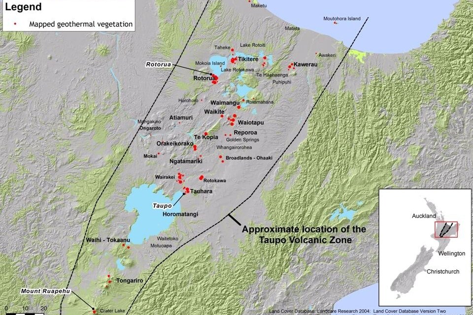
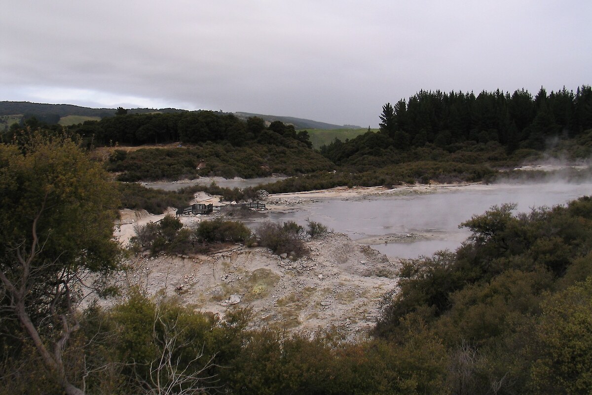
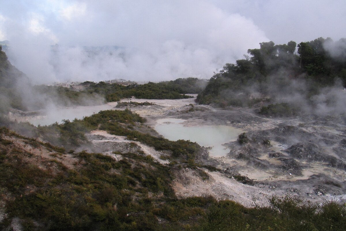
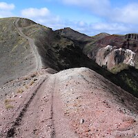
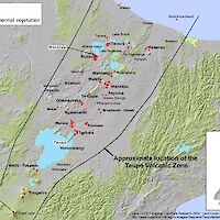
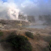
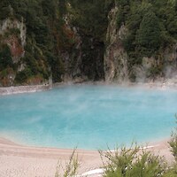
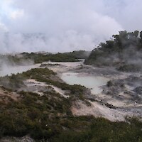
Most of the geothermal vegetation in New Zealand occurs in the Rotorua-Taupo area and most of the geothermal vegetation in the Bay of Plenty Region occurs in this area, particularly around Rotorua. Other smaller areas of geothermal vegetation or geothermal activity are known from offshore islands (Moutohora (Whale) Island, Tuhua (Mayor) Island and Whakaari (White) Island), and several small sites around Tauranga, Kawerau, and in Kaingaroa Forest.

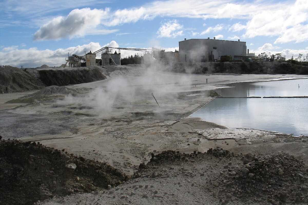
The extent of geothermal vegetation in the region has declined dramatically since European settlement as a result of a combination of energy/hot water draw off from the geothermal fields, clearance and burning of vegetation and ongoing site degradation caused by infilling, tourism and recreation, dumping of rubbish, grazing, and sulphur mining. Some natural declines in geothermal activity have also occurred.

In 2005, Wildlands prepared an inventory of the current distribution and extent of geothermal vegetation in the Bay of Plenty Region, and an assessment of the relative significance of each site. This project expanded on a 1996 study undertaken by the company.

Field surveys were undertaken in 2005 at sites with known geothermal vegetation in the Bay of Plenty Region. Geothermal sites were mapped at a scale of 1:5,000 and their vegetation was described. The hydrology of each habitat was also identified and recorded (e.g. terrestrial or geothermal wetland). Special features of the flora and fauna present, threats, modifications, current condition were assessed. The relative significance of each site was assessed against Environment Bay of Plenty Regional Policy Statement criteria and categories of national, regional, and local significance. Results were assessed to identify any changes to the extent of geothermal vegetation since 1995.

A total of 47 geothermal sites covering c.291 ha were identified, described, mapped, and assessed. Approximately209 ha of geothermal vegetation in the Bay of Plenty Region was ranked as being of National significance, c.73 ha was ranked as being of Regional significance and c.14 ha was ranked as being of Local significance.

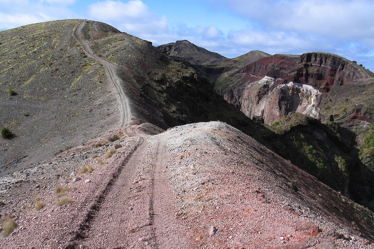
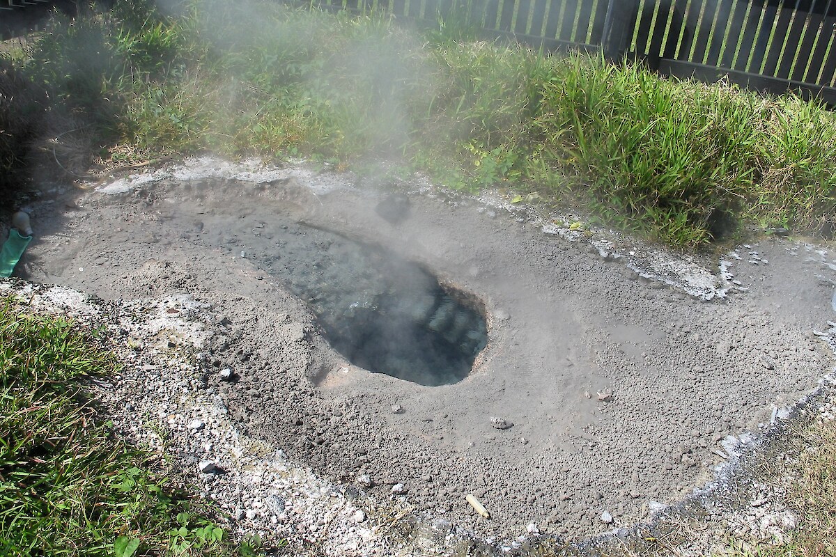
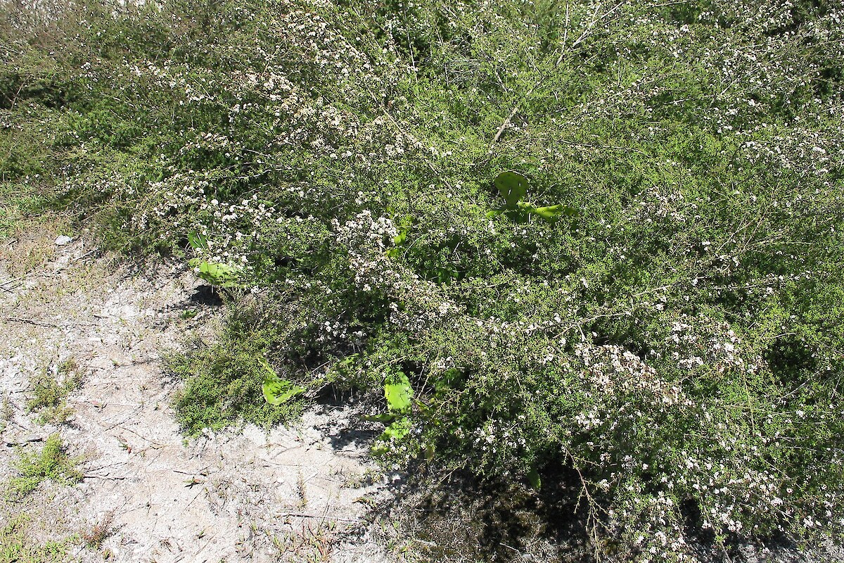
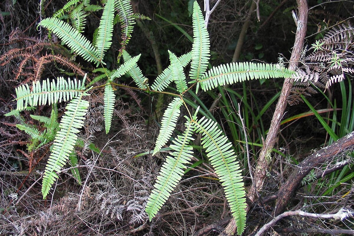
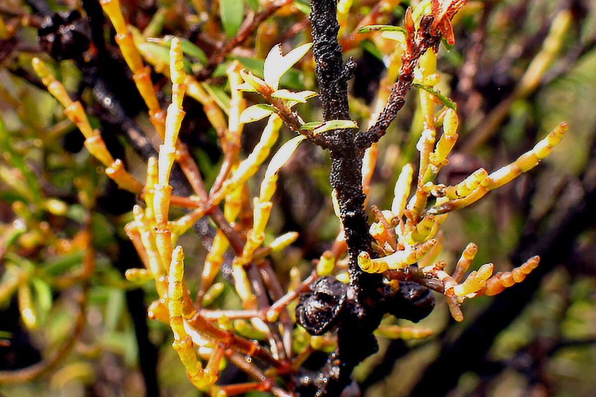
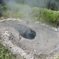
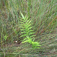
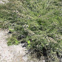
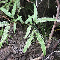
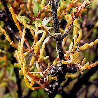
Distinctive geothermal vegetation and habitats include prostrate kanuka (Kunzea tenuicaulis) shrubland, geothermal fernland, mossfield, lichenfield, geothermal water, mudfield, and nonvegetated raw-soilfield.

Nationally Threatened and At Risk plant species recorded at Bay of Plenty geothermal sites include Korthalsella salicornioides,prostrate kanuka, several orchid species, and the ferns Schizaea dichotoma, Dicranopteris linearis, Hypolepis dicksonioides, Christella sp. ‘thermal’, Nephrolepis flexuosa, Thelypteris confluens, and Cyclosorus interruptus. Other characteristic geothermal species include Psilotum nudum and Lycopodiella cernua.

Recommended management for geothermal sites in the Bay of Plenty Region includes buffering from surrounding land uses, legal protection, and enhancement through weed and pest animal control.

Wildlands continues to undertake long-term monitoring of geothermal vegetation and habitats at several sites in the Bay of Plenty and Waikato Regions.

Related Services

  • Vegetation & Habitat Surveys
  • Mapping & GIS Services
  • Threatened Species
  • Weeds

Similar Projects

  • Significant Natural Area (SNA) and Protected Natural Area (PNAP) surveys
  • Cathedral Cove weed management and restoration
  • Te Tumu Kaituna 7b2 ecological restoration project
  • Vegetation monitoring, Pūtauaki (Mt Edgecumbe)
  • Pest plant survey and assessment, Ohope Scenic Reserve
  • Threatened plants and braided river bird surveys, Central Otago
  • Assessment of wetlands at the Remarkables Ski Area, Queenstown
  • Assessment of significant vegetation, Otatara, Invercargill
  • Seabird re-establishment and habitat restoration, Long Point-Irahuka
Providing outstanding ecological services to sustain and improve our environments
Wildlands: Ecology and Restoration Westpac Rotorua Business Excellence Awards Supreme Winner Toitū Enviromark Diamond Ekos Zero Carbon Pest-Free Operator: Hauraki Gulf

[Enable JavaScript to view protected content]

Call free: 0508 945 369

© 2025 Wildland Consultants Ltd
Website by RS

  • Home
  • Company
    • News
    • Newsletters
    • Brand story
    • Our values
    • Reports and Other Outputs
    • Awards
    • Links
    • Health, Safety and Environment
    • The Wildlands Logo
    • Copyright
    • Rotorua Botanical Society
      • Publications
      • Newsletters
      • Field Trips
      • Membership Form
      • John Nicholls Memorial Research Grant
  • People
  • Services
    • Assessment of Ecological Effects (AEEs)
    • Biosecurity
      • Pest Animals
    • Ecological Evaluation
    • Ecosystem Restoration & Rehabilitation
    • Fauna Surveys & Monitoring
      • Aquatic Fauna
      • Bats
      • Birds
      • Lizards & Frogs
      • Terrestrial Invertebrates
    • Freshwater & Estuarine Wetlands
    • Indigenous Ecosystem Processes
    • Indigenous Revegetation
    • Mapping & GIS Services
    • Monitoring Design & Implementation
    • Offshore Islands
    • Pacific Islands
    • Strategic Advice
    • Sustainable Farm Planning
    • Threatened Species
    • Vegetation & Habitat Surveys
    • Weeds
    • Plant for Good
      • Riparian Indigenous Planting
      • Shelterbelts
      • Woodlots/forestry
  • Projects
  • Careers
    • Current vacancies
  • Contact